Community Corner
Cooler Temperatures, Wind Ahead For Memorial Day Weekend
The weather for Memorial Day Weekend will be be cooler, with some gusts of wind and a slight chance of rain.
Gusty winds again will sweep the Southland today and through the Memorial Day Weekend as high surf pounds the coast starting this afternoon, generating potentially deadly rip currents, forecasters said.
A wind advisory denoting an expectation of sustained winds of 35 mph or greater will be effect from 3 p.m. today until 3 a.m. Saturday in what the National Weather Service regards as Los Angeles County's coastal zone, which includes the beaches, Malibu, Santa Monica, Beverly Hills, downtown L.A., much of the city's urban core and the Hollywood Hills.
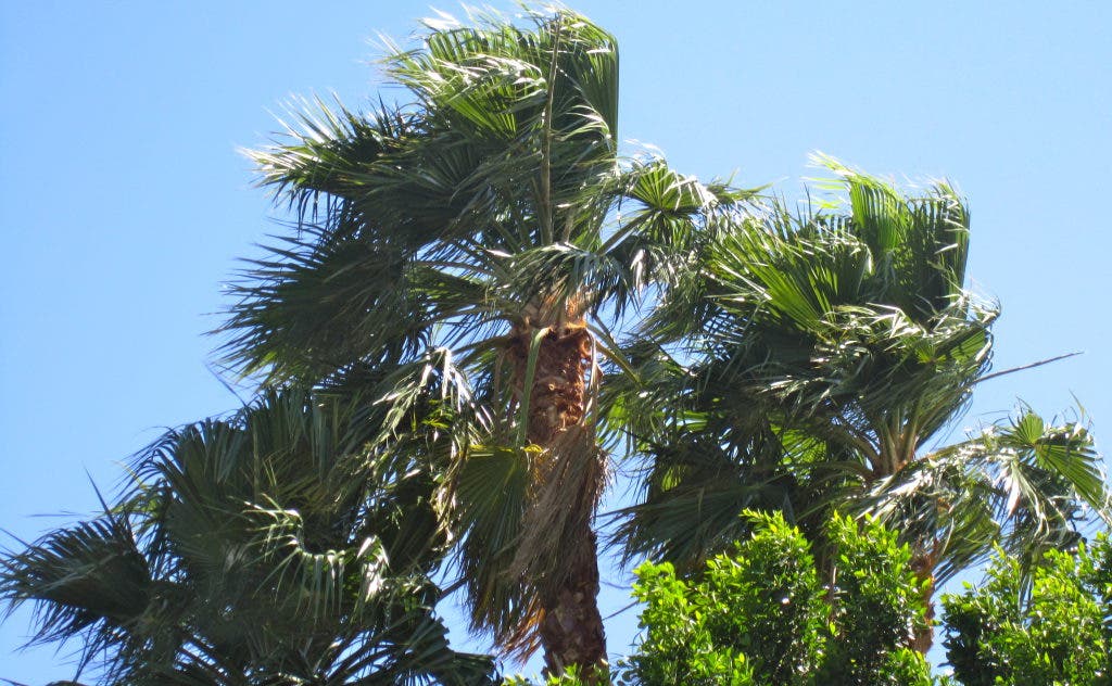
In Glendora, gusts will reach as high as 15 mph, with a 30 percent chance of showers tonight. The day’s high is 66 degrees.
Find out what's happening in Glendorawith free, real-time updates from Patch.
It's the first time this week that wind speeds will have reached
advisory levels in the coastal zone, where National Weather Service forecasters
say they expect winds of between 15 and 25 miles per hour, gusting to 35 mph,
beginning this afternoon and lasting through tonight.
Crosswinds could make driving difficult on Pacific Coast Highway, the Santa Monica (10) Freeway and the San Diego (405) Freeways, they said.
A wind advisory also will go into effect at 3 p.m. for 12 hours on Santa Catalina Island, another region that experienced much tamer winds earlier this week.
Find out what's happening in Glendorawith free, real-time updates from Patch.
Forecasters said the island would be swept today by winds of between
20 and 30 mph, gusting to 40 mph. Island residents were advised to close their
windows and secure outdoor objects so that they don't become wind-borne
projectiles.
Along west-facing beaches, “potentially hazardous surf and very strong rip currents are expected late (this) afternoon through Saturday morning'' as a result of gale-force winds, according to an NWS advisory.
The tide will range from around 3.3 feet around 2 p.m. to 2.8 feet at 6:30 p.m. to around 5 feet after midnight, according to the advisory.
Today's winds mark the start of a two-day wind event coming on the heels of a three-day event that ended Thursday. What makes them distinct events in the minds of forecasters is that the region experienced mostly northerly winds earlier this week while what's expected today and Saturday are westerly winds, said NWS meteorologist David Sweet.
Sweet said the high winds result from an unseasonable low pressure system out of the Pacific Northwest.
Southland temperatures today and through the weekend mostly will be lower than earlier in the week. Rain is forecast on Mount Wilson today, but most communities in the Greater L.A. area will be mostly cloudy, turning partly cloudy Saturday and Sunday, though a few are expected to be sunny.
The NWS forecast highs today of 49 on Mount Wilson; 59 in Avalon; 65 in Saugus; 66 at LAX, in Anaheim, Lancaster, Pasadena and San Gabriel; 67 in Newport Beach, Burbank and Palmdale; 68 in downtown L.A. and Long Beach; and 69 in Woodland Hills. Temperatures are expected to rise by a few degrees Saturday and climb again on Sunday, especially in the Antelope Valley, where highs are expected to return to the 80s.

